Centralia, Pennsylvania: A Ghost Town & (Un)forgotten Place
I have somewhat of an obsession with ghost towns and empty geographies—with Centralia, Pennsylvania, being at the top of that list.
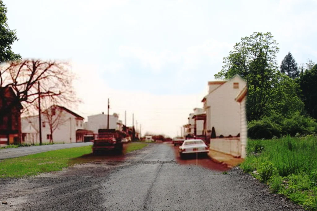
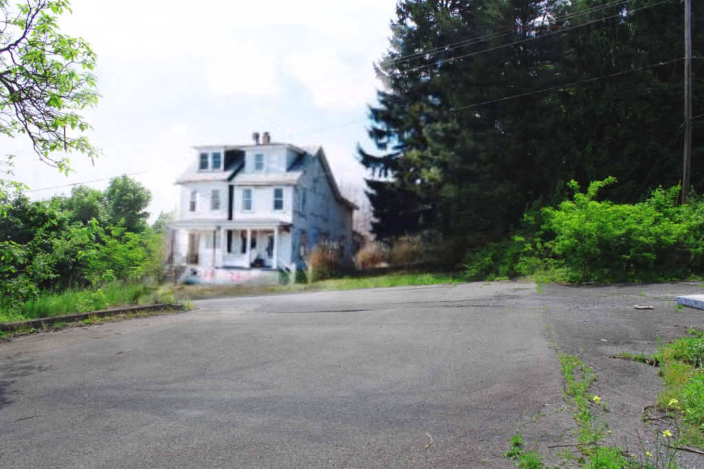
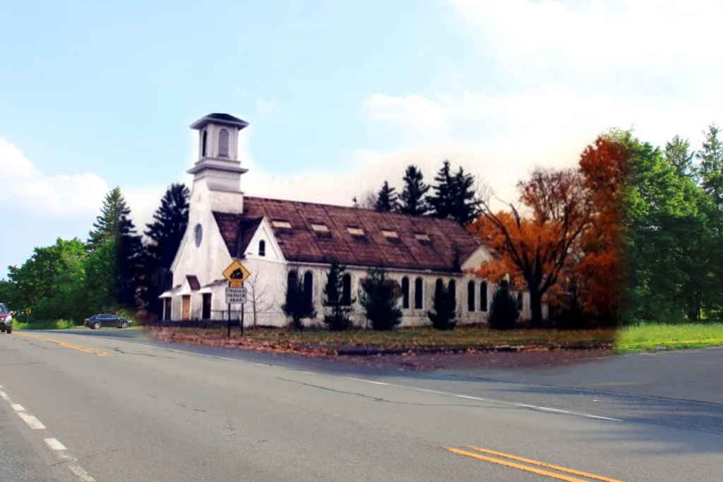
This series of before and after photos incorporates old elements (when the town was active) within a photo of the town that was taken by me in 2011. Since the early 1980s, 99% of the town has been relocated to nearby towns, such as Ashland or Mt. Carmel. Centralia has since become almost completely overgrown with vegetation after nearly all of the homes have been razed.
I refer to Centralia as an (un)forgotten place because—while it no longer exists on a map, has no zip code, no town activity, and is basically forgotten—it still drives interest and research among the curious and lament among the former residents...
Here is a blurb I wrote about the history of the town in 2011:
Once upon a time, the small town of Centralia, Pennsylvania, was alive. Homes lined the streets. Children played outside. Businesses thrived. Located in the eastern part of the state, the town is situated on top of the valuable anthracite coalfield that has made Pennsylvania famous. It is surrounded by beautiful hills, farmland, and other small towns—spaces that are alive with human activity and progress. Centralia, on the other hand, is no longer alive today; it has few homes, children do not play outside, and business is no longer booming.
The story of Centralia is quite sad. To visit it conjures up feelings of the immense sense of loss that the residents must have felt when they were relocated to neighboring towns and their homes were razed, which is what occurred back in the mid-1980s. Before that time, the town had an active coal mining operation and many of the residents were employed in the industry. Some time in the early 1960s, however, one of the town’s landfills was set on fire when hot ash was dumped on it, though the exact cause of the fire is contested to this day. Because of the network of open mines and coal veins below the surface, the fire was able to spread and burn unabated under the town of Centralia.
The residents knew about the fire but had no idea of the hazardous situation it was causing. The great scale of the underground fire was realized around 1980 when it was discovered that the temperature of gasoline in underground fuel tanks at a gas station was over 170°F. Years later, a young boy fell into a large pit that had suddenly subsided in his back yard. People began complaining about ill health and high levels of carbon monoxide and carbon dioxide. In the early 1980s, the government stepped in and attempted to relocate all of the town’s residents to nearby communities where they would be safe from the fire. Some residents decided to remain in Centralia, but the population today (as of 2011) has fallen to less than a dozen due to the government’s claim of eminent domain on the land. Aside from a few crumbling buildings left standing, the town has become overgrown with vegetation and wildlife. A highway to the town has been closed off and rerouted, and trenches to surround the town and contain the fire were planned but never completed. In fact, the asphalt highway has become twisted and cracked due to the hot fires at play below the ground. These fires are expected to burn for another 200 to 300 years.
(Note on Fair Use: I am incorporating the older photos within my original work under Fair Use laws for transformative artwork.)